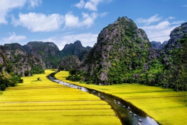
Ha Giang is a province in the northeast region of Vietnam, impresses visitors with its high karst plateau, steep hills, winding roads and ethnic diversity. It is ideal for outdoor activities such as trekking and camping.
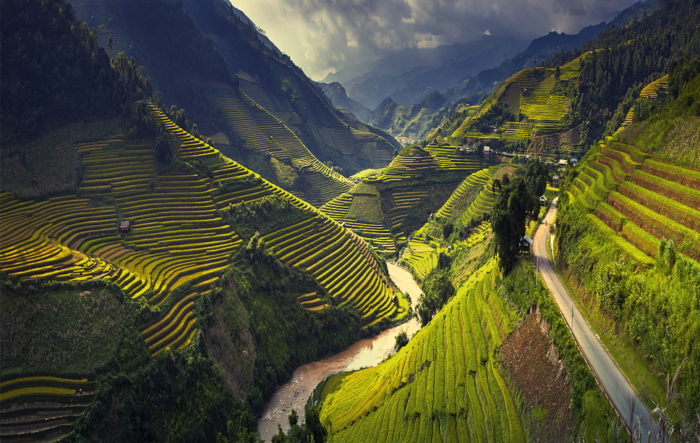
The province of Ha Giang is located in the far north of Vietnam, surrounded by Cao Bang, Tuyen Quang, Lao Cai and Yen Bai, and contains Vietnam’s northernmost point. It shares a long border with the south of China. There are 10 districts including Bac Quang, Quang Binh, Xin Man, Hoang Su Phi, Vi Xuyen, Quan Ba, Yen Minh, Dong Van, Meo Vac, Bac Me and 1 city (Ha Giang city).
Ethnic minorities
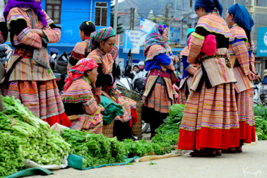
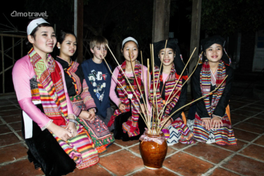
Ha Giang consists of various ethnic minorities (Tay, Hmong, Dao, Nung, Cao Lan, Hoa, Lo Lo, etc). They can be distinguished by their clothing.
Climate
The climate is divided into two distinct seasons: rainy and dry season. Depending on the altitude, climate will change. The province is good to visit throughout the year. September to November and March to May are when the temperature is most pleasurable, in their mid 20’s. The summer months can be quite rainy and in lower altitudes humid, expect more than 30 degrees. December and a bit into February the temperature falls, especially in the mountains so carry some good clothing. There are years when snow has been falling over Ha Giang.
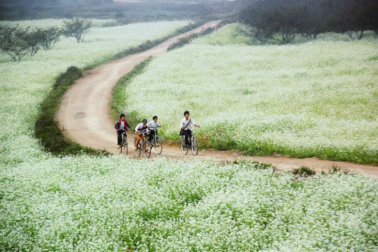
October and November is peak season for local Vietnamese tourists. It is the time when the buckwheat is flowering and expect that hotels, hostels and motorbike rentals can be very busy. It is a very good idea to book your stay and activities in advance during these months.

